The best park for wildlife viewing isn’t a choice between Banff and Jasper; it’s about navigating either park with a deep understanding of animal behaviour and park ecology.
- Wildlife follows predictable corridors linked to food and safety; aligning your visit with these invisible pathways, not just famous viewpoints, is the key to successful sightings.
- Jasper offers a more rugged, integrated wilderness feel where wildlife is part of the town’s fabric, while Banff’s busier infrastructure requires a more strategic use of transit and timing to access prime habitats.
Recommendation: Use the Roam Transit system in Banff to access vehicle-restricted areas and plan your trip for the shoulder season (spring/fall) in both parks to witness more active and less-stressed wildlife away from peak crowds.
The question of whether Banff or Jasper is superior for wildlife viewing is a classic Rockies debate. Many visitors arrive hoping for a simple answer, armed with visions of grizzly bears roaming misty valleys and herds of elk grazing by the roadside. The common advice is to pick Jasper for its “wilder” feel and Banff for its iconic, accessible beauty. While there’s a grain of truth to this, it misses the bigger picture entirely. As a naturalist guide, I can tell you that successful and respectful wildlife viewing isn’t about picking a park—it’s about understanding the rhythm of the ecosystem you’re entering.
The true key lies not in a location, but in a strategy. It’s about seeing the landscape through an animal’s eyes. Where are their food sources? Where are their safe travel routes? How does human activity—from a traffic jam on the highway to a closed teahouse in the fall—influence their daily movements? The most memorable encounters happen when you learn to read these signs and align your presence with the natural flow of the wild, rather than just chasing hotspots.
This guide will shift your perspective from a simple “Banff vs. Jasper” comparison to a strategic approach. We will explore the critical role of wildlife corridors, the impact of park management decisions like vehicle bans, and how to use infrastructure like public transit to your advantage. By understanding the ‘why’ behind animal movements, you’ll be equipped to plan an itinerary that maximizes your chances of seeing wildlife ethically and safely in either national park.
To help you craft the perfect wildlife-focused itinerary, this article breaks down the essential strategies and ecological insights. Explore the topics below to understand the systems that govern animal life in the Canadian Rockies and how you can best navigate them.
Summary: A Strategic Guide to Wildlife Viewing in the Rockies
- Why Are Wildlife Corridors Essential for Grizzly Bear Survival in Parks?
- How to Use the Roam Transit System to Visit Lakes Without a Car?
- Banff Townsite vs. Jasper Townsite: Which Offers a More Authentic Mountain Vibe?
- The 100-Meter Rule: What Happens If You Get Too Close to an Elk?
- Shoulder Season Hiking: When Do the Teahouses Close in Lake Louise?
- Why Is “Boondocking” in National Parks Strictly Prohibited and Fined?
- How to Frame Massive Mountains to Show Scale in Your Photos?
- Getting to Moraine Lake: Why Private Vehicles Are Now Banned and How to Visit?
Why Are Wildlife Corridors Essential for Grizzly Bear Survival in Parks?
Animals don’t recognize park boundaries; they see landscapes of resources and risks. A wildlife corridor is essentially a safe highway for animals, connecting larger patches of habitat that are otherwise fragmented by human development like towns, railways, and highways. For large, wide-ranging species like grizzly bears, these corridors are not just convenient—they are a matter of life and death. They allow bears to find mates, access seasonal food sources, and maintain genetic diversity, which is crucial for the long-term health of the entire population.
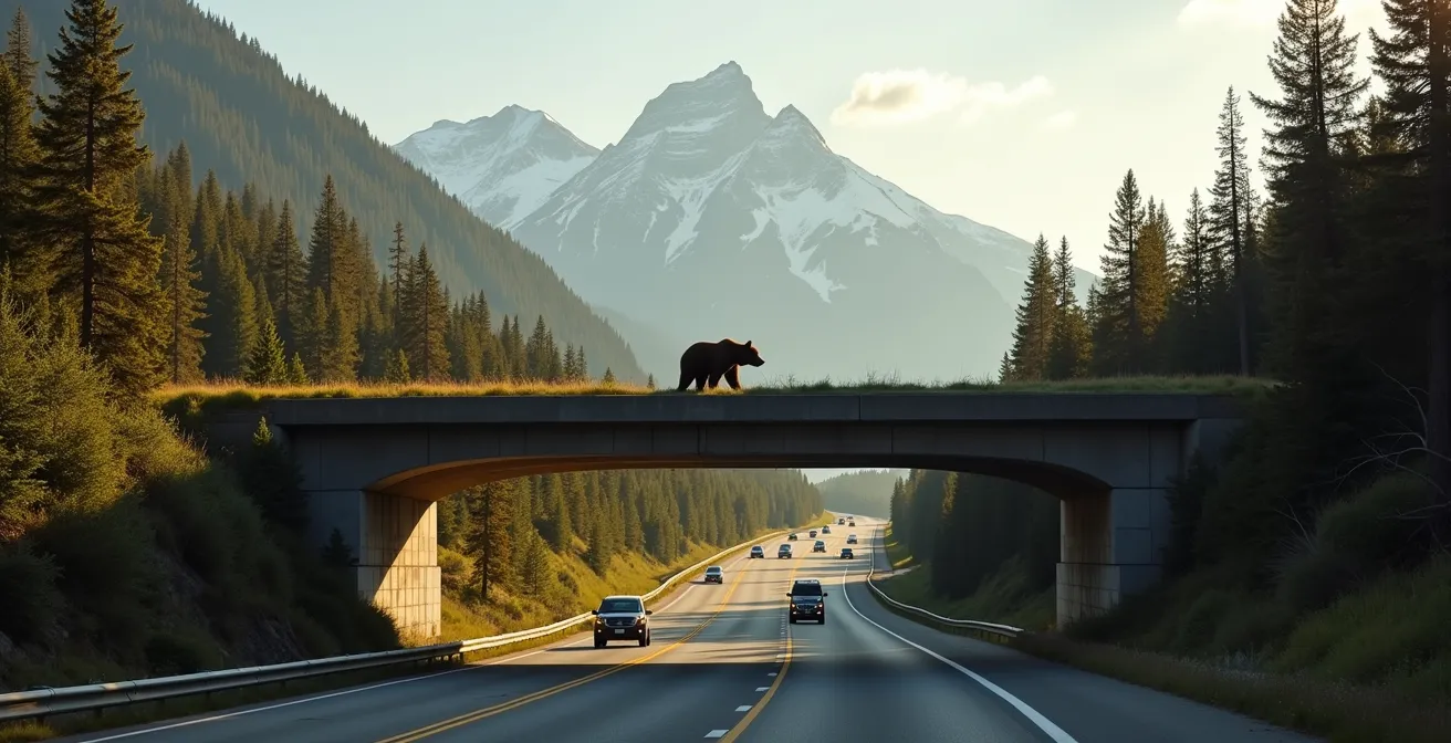
In the Canadian Rockies, the Bow Valley in Banff is a critical chokepoint. The Trans-Canada Highway, the railway, and the town of Banff all squeeze into this narrow valley, which is also a natural travel route for wildlife. To mitigate this, Parks Canada has built one of the world’s most extensive systems of wildlife overpasses and underpasses. The results are staggering; Parks Canada reports that highway fencing and crossings in Banff have reduced wildlife-vehicle collisions by more than 82%. This infrastructure directly helps bears and other animals safely cross a major barrier.
The importance of these connections is further highlighted by the Yellowstone to Yukon (Y2Y) Conservation Initiative. A 20-year GPS tracking study of grizzly bears and wolves demonstrated the vital role of the Cascade-Fenlands-Vermilion Lakes corridor just north of Banff. As wildlife ecologist Jesse Whittington stated, this corridor is fundamentally important for wildlife movement. It’s a key link in a chain of habitats stretching thousands of kilometers, ensuring that a bear in Banff is not an isolated individual but part of a vast, interconnected continental population. Understanding this concept of habitat connectivity is the first step to understanding where you are most likely to see wildlife—they will be in or near these critical travel zones.
I can say this Cascade, Fenlands, Vermilion Lakes corridor is important for wildlife.
– Jesse Whittington, Wildlife ecologist, Banff National Park ecological integrity monitoring program
How to Use the Roam Transit System to Visit Lakes Without a Car?
In Banff, one of the most effective tools for wildlife viewing is ironically not a 4×4 vehicle, but a bus pass. The Roam Transit system is more than just a way to get around; it’s a strategic asset for accessing prime wildlife habitats while minimizing your own impact. By consolidating human traffic onto buses, the system reduces the number of private vehicles on sensitive roads, which in turn lowers habitat fragmentation and stress on animals. With a ridership that reached 1,647,800 in 2024, the positive impact on decongesting critical areas is immense.
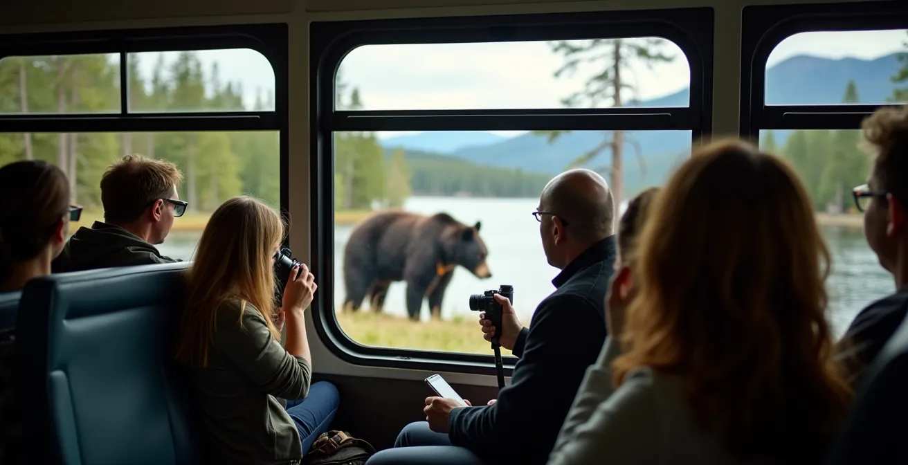
The real advantage for a nature lover is that Roam routes are designed to take you to the heart of the park’s most stunning—and often animal-rich—locations. Routes to Lake Minnewanka, Johnston Canyon, and Lake Louise follow valley bottoms and lakeside roads that are natural travel paths for wildlife. Drivers are locals who are often the first to spot a bear foraging or elk grazing, and they will frequently stop the bus to allow passengers a safe, respectful viewing opportunity from inside the vehicle. This elevated position provides a great vantage point without the risk and disruption of a “bear jam” caused by dozens of stopped cars.
Using Roam Transit effectively requires a bit of planning. By combining different routes and understanding the schedules, you can create an itinerary that maximizes your time in key areas during the most active wildlife periods—early morning and late evening. This not only increases your chances of a sighting but also contributes directly to the conservation principles that protect these animals for future generations.
Your Action Plan: Maximizing Wildlife Sightings with Roam Transit
- Get the App and Pass: Download the Token Transit app for easy contactless boarding. Purchase a Roam Super Pass for unlimited daily travel across the network, which is the most cost-effective option.
- Early Morning to Minnewanka: Take Route 6 to Lake Minnewanka before 9 a.m. This area is a known habitat for bighorn sheep and bears, and drivers often pause for sightings along the scenic drive.
- Express to the Icons: Use the Route 8X express to Lake Louise. From there, connect with the Parks Canada Lake Connector shuttle to reach the now car-free Moraine Lake.
- Scenic Parkway Return: On your return journey, consider taking Route 9, the Johnston Canyon bus, which travels a portion of the scenic Bow Valley Parkway. This road has lower speed limits and is a prime corridor for wildlife, especially in the evening.
- Camp and Ride: If you are a registered camper at Tunnel Mountain or Two Jack campgrounds, take advantage of the free transit connections to the townsite. This reduces vehicle use in sensitive campground areas where wildlife is frequently present.
Banff Townsite vs. Jasper Townsite: Which Offers a More Authentic Mountain Vibe?
The “vibe” of Banff versus Jasper is not just a matter of opinion; it’s a direct reflection of their history, development, and relationship with the surrounding wilderness. Banff, developed by the Canadian Pacific Railway as a luxury tourist destination, has a more polished, commercial atmosphere with international brands lining its main avenue. Jasper, established as a functional railway town for the Canadian National line, retains a more rugged, independent, and down-to-earth character. This fundamental difference extends to how wildlife interacts with each townsite.
Banff has worked hard to manage its “urban” elk population, actively encouraging them to remain outside the town limits to reduce human-wildlife conflict. The town is a concentrated hub of activity nestled within clearly demarcated and compressed wildlife corridors. In contrast, Jasper feels more like a town placed *within* the wilderness. It’s not uncommon to see elk wandering down the main street, and the town itself is more directly integrated with the surrounding habitat. This integration, while offering an “authentic” feel, also presents significant management challenges.
The following table, based on Parks Canada data and observations, breaks down these differences. It shows how factors like visitor numbers and historical development directly influence the wildlife experience in each town. Jasper’s lower visitor count and more integrated layout mean that your chances of an “in-town” wildlife encounter are higher, but this also comes with greater responsibility for both residents and visitors to manage attractants like fruit trees, which led to hundreds of bear incidents in recent years.
| Aspect | Banff Townsite | Jasper Townsite |
|---|---|---|
| Town Elk Presence | Managed largely outside town limits to reduce conflict | Frequently seen within town limits, creating a “wilder” feel |
| Historical Development | Developed as a luxury destination by the Canadian Pacific Railway | Grew as a functional railway town for the Canadian National Railway |
| Business Footprint | Dominated by international high-end retail and corporate chains | Characterized by local, independent businesses (e.g., Jasper Brewing Co.) |
| Wildlife Corridors | Compressed and clearly demarcated by development | More porous, with wilderness integrated at the town’s doorstep |
| Annual Visitors (2023) | 4.13 million | 2.42 million |
The 100-Meter Rule: What Happens If You Get Too Close to an Elk?
In the Canadian National Parks, the rules for wildlife viewing distances are not suggestions; they are federal laws designed to protect both you and the animals. The most critical of these is the distance rule: you must stay 100 meters (about 10 bus lengths or the length of a football field) away from bears, cougars, and wolves, and 30 meters (3 bus lengths) away from all other large animals like elk, deer, moose, and bighorn sheep. Getting too close is legally defined as wildlife harassment, and the consequences are severe.
If you are caught violating these distances, you are not just given a warning. Under the Canada National Parks Act, violators face a mandatory court appearance and potential fines of up to $25,000 CAD. Park Wardens actively patrol popular areas and will enforce these rules without hesitation. This strict approach is necessary because habituating wildlife to human presence is incredibly dangerous. An animal that loses its natural fear of people is more likely to approach them for food, leading to aggressive encounters that often result in the animal being destroyed by park staff—a tragic outcome summarized by the phrase, “a fed bear is a dead bear.”
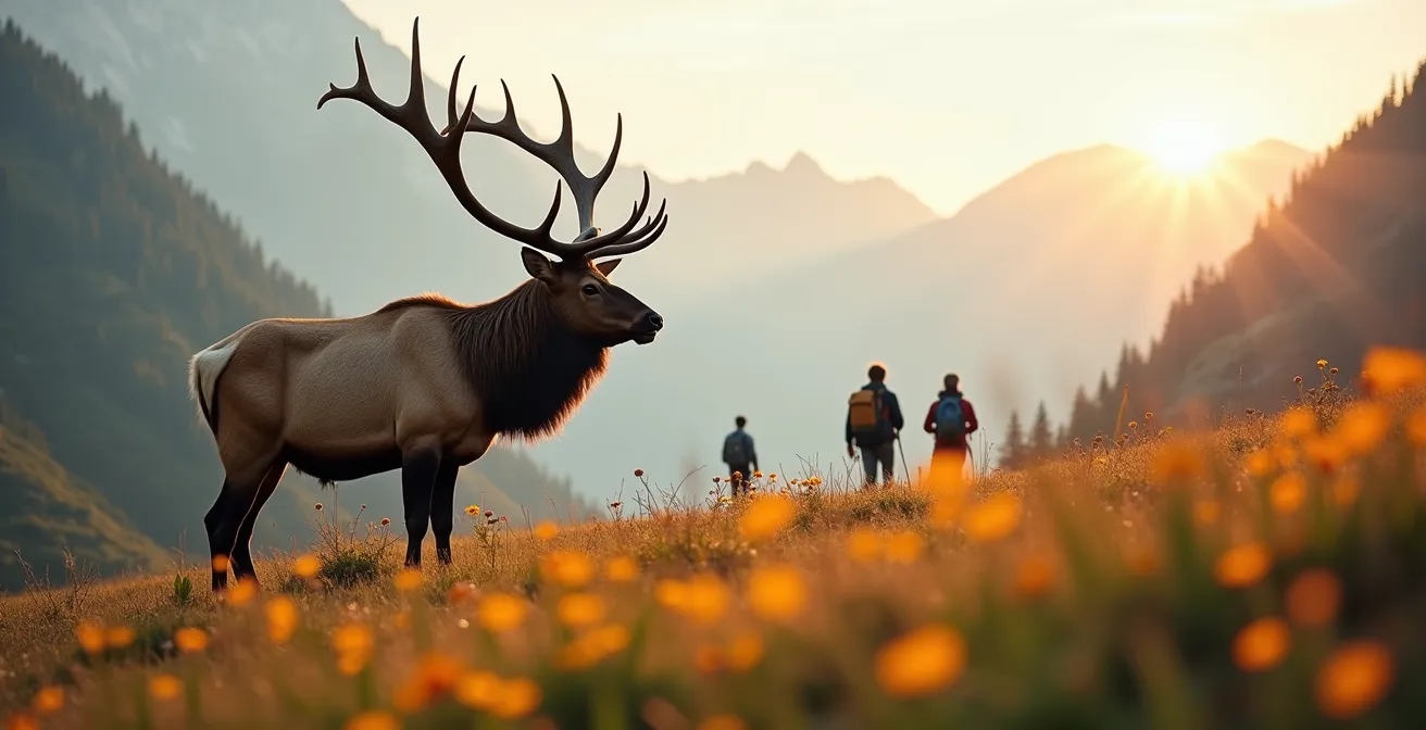
An elk, for example, might seem docile as it grazes on a lawn, but it is a powerful, wild animal. During the fall rut (mating season) or spring calving season, they can be extremely aggressive and unpredictable. Charging incidents are not uncommon and can cause serious injury. By respecting the legal distance, you are not only ensuring your own safety but also allowing the animal to carry on its essential life activities—feeding, resting, and caring for its young—without the stress of human interference. Remember these protocols every time you see an animal:
- Maintain 100 meters from predators (bears, cougars, wolves).
- Keep 30 meters from all other large animals (elk, deer, sheep, goats).
- If an animal approaches you, back away slowly. Never turn your back or run.
- During a “wildlife jam” on the road, stay in your vehicle. If you must pull over, use a designated pullout and do not block traffic.
- Never use flash photography or actively pursue an animal for a better photo, as this constitutes harassment.
Shoulder Season Hiking: When Do the Teahouses Close in Lake Louise?
The closing of the iconic teahouses at Lake Louise—the Plain of Six Glaciers and Lake Agnes Teahouse—marks a significant shift in the mountain ecosystem. These closures, typically happening around Canadian Thanksgiving in early October, are more than just an end to the summer hiking season. They are a crucial signal that high-elevation terrain is transitioning into a critical feeding ground for grizzly bears preparing for winter. This period is known as hyperphagia, where bears can consume up to 20,000 calories a day, primarily from the berry-rich slopes of the subalpine.
Parks Canada’s visitor management data reveals that the closure of these facilities directly correlates with an increase in grizzly bear activity in the surrounding wildlife corridors, like the Fairview and Whitehorn corridors. As human foot traffic on these trails plummets, bears move in to forage with less disturbance. In conjunction, Parks Canada often implements seasonal closures on certain trails or areas, like the Great Divide parking lot, to give these animals the space they desperately need. For hikers, this means the “shoulder season” (from late September to early November) requires a strategic shift in planning.
While the high peaks become bear territory, the valley bottoms and lower elevation trails come alive. The fall elk rut is in full swing, making areas like the Bow River Loop and the Fenland Trail in Banff prime viewing spots. The crisp autumn air carries the sound of bugling bulls, and the golden foliage of aspen and larch trees provides a stunning backdrop. This season offers a more intimate and often more active wildlife viewing experience than the busy summer months, but it demands preparation. Bear spray is non-negotiable as bears remain active, and microspikes become essential for icy trails as temperatures drop.
- Switch to Lower Elevations: When the teahouses close, shift your hiking focus to valley-bottom trails like the Bow River Loop, Fenland Trail, and trails around the townsite.
- Focus on the Rut: The fall is the best time for elk viewing. Visit areas like the Banff Springs golf course road or the Vermilion Lakes area in the early morning or evening.
- Carry Bear Spray and Make Noise: Bears are still very active. Carry bear spray, know how to use it, and make noise on the trail to avoid surprise encounters.
- Prepare for Ice: Pack microspikes for your hiking boots starting from mid-October, as shaded trails can become very slippery.
- Visit Vermilion Lakes: This area is a magnet for wildlife in the shoulder season, offering opportunities to see elk, deer, and various bird species against the backdrop of Mount Rundle.
Why Is “Boondocking” in National Parks Strictly Prohibited and Fined?
“Boondocking,” or random overnight camping in a vehicle outside of a designated campground, might seem like a harmless way to save money and get closer to nature. However, within the boundaries of Canada’s National Parks, it is strictly illegal and carries heavy penalties for a critical ecological reason: it leads to severe habitat fragmentation. Most pullouts and day-use areas are located in valley bottoms, which are the most vital wildlife corridors in the mountain ecosystem. These are the same low-elevation routes that bears, wolves, and elk must use to travel, feed, and find mates.
When a vehicle camps overnight in one of these pullouts, it creates a 24-hour human presence in the middle of an animal’s natural highway. This can block movement, increase stress, and push wildlife into less suitable habitat or into dangerous proximity with roads and railways. Furthermore, illegal camping dramatically increases the risk of improper food storage and garbage disposal, which can attract animals and lead to dangerous human-wildlife conflicts. A bear that gets a food reward from one careless camper becomes a potential danger to all future visitors.
Because the ecological integrity of these corridors is paramount, Parks Canada enforcement is rigorous. If you are caught camping overnight in a pullout, trailhead, or day-use area, you will face a mandatory court appearance and fines that can reach up to $25,000. Park Wardens patrol these areas specifically to prevent this activity. While legal “boondocking” or random camping is permitted in some Provincial Public Land Use Zones (PLUZ) outside of park boundaries, the rules inside the national parks are absolute. The only legal place to camp overnight is in a designated campground, which concentrates human impact and leaves the crucial corridors free for wildlife at night.
How to Frame Massive Mountains to Show Scale in Your Photos?
Photographing the Canadian Rockies presents a unique challenge: capturing the sheer, overwhelming scale of the landscape. A photo of a massive peak can easily look flat and unimpressive without a reference point. The key to conveying scale is to intentionally include elements in your composition that provide a sense of size and depth. This doesn’t mean placing a person in a brightly coloured jacket in every shot; a more subtle and wildlife-friendly approach often yields more powerful results.
One of the most effective techniques is to use wildlife as a scale element, but only from a safe and respectful distance. A few bighorn sheep on a distant ridge, or a lone elk in a vast meadow at the base of a mountain, immediately tells the viewer’s brain just how immense the scenery is. This method turns a simple landscape photo into a story about life in that environment. Another powerful tool is atmosphere. Capturing morning valley cloud inversions along the Icefields Parkway or the brief, magical period of alpenglow about 20 minutes after sunset can create layers and depth that emphasize the mountains’ height and distance.
To create compelling compositions that respect the environment, think in layers. Use natural elements in the foreground, like the branches of a pine tree or a field of wildflowers, to frame your shot. This adds depth and draws the eye into the scene. The 232-kilometer Icefields Parkway, connecting Banff and Jasper, is essentially a purpose-built corridor for this type of photography. Its numerous marked and unmarked pull-offs are strategically placed to offer breathtaking views while allowing you to stay near your vehicle, minimizing your impact on the surrounding terrain. Explore different perspectives, like shooting from the Tower of Babel scramble for a unique view of Moraine Lake away from the crowded Rockpile, to find a composition that truly captures the majesty of the mountains.
- Use Distant Wildlife for Scale: A small group of bighorn sheep on a high ridge or an elk in a wide meadow provides a powerful sense of the mountain’s size.
- Leverage Atmospheric Conditions: Shoot during morning cloud inversions or the brief alpenglow period after sunset to add layers of depth and drama.
- Create Natural Frames: Use elements like tree branches or rock formations in the foreground to add layers and guide the viewer’s eye.
- Seek Unique Vantage Points: Move away from the most crowded spots. A short scramble or a walk to a different part of a lake can offer a completely fresh perspective.
- Shoot with a Telephoto Lens: A longer lens can compress the background, making distant mountains appear even larger and more imposing behind your subject.
Key Takeaways
- The best wildlife sightings are a result of strategic planning that aligns with animal ecology, not just visiting famous locations.
- Understanding and respecting wildlife corridors—the natural highways for animals—is the single most important factor for both seeing wildlife and protecting it.
- Using public transit, visiting during the shoulder season, and adhering strictly to legal viewing distances are practical strategies that increase your chances of ethical encounters.
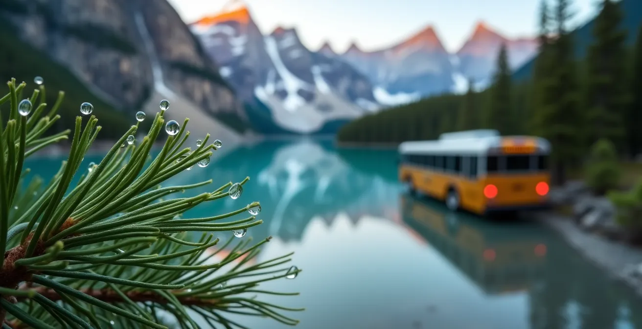
Getting to Moraine Lake: Why Private Vehicles Are Now Banned and How to Visit?
The 2023 decision by Parks Canada to ban private vehicles from the Moraine Lake road was a landmark move in visitor use management. For years, the demand to see the iconic “Valley of the Ten Peaks” had created unsustainable traffic, with the parking lot often filling up before sunrise. This led to dangerous road conditions, frustrated visitors, and most importantly, extreme stress on local wildlife, particularly grizzly bears who use the area as a vital habitat corridor. The vehicle ban is a direct response to this intense visitor pressure and a necessary step to restore ecological integrity.
While the change requires more planning, it has transformed the Moraine Lake experience for the better. The area is now calmer, safer, and allows for a more immersive connection with nature. It also creates a more predictable and equitable access system. The primary ways to visit are now through the Parks Canada shuttle system, Roam Transit, or private tour operators. The shuttle program is a massive logistical undertaking; for example, Parks Canada’s 2023-24 shuttle program revealed a $4.68 million deficit, highlighting the significant public investment required to manage access to this world-renowned location sustainably.
For visitors, this means a reservation is now essential. The system rewards those who plan ahead. By booking a shuttle or a tour, you guarantee your spot and contribute to a model that prioritizes the health of the ecosystem over the convenience of a private car. The alternatives each have their own costs and benefits, from the freedom of cycling up the road before the buses start, to the all-inclusive nature of a private tour.
| Access Method | Cost | Availability | Wildlife Impact |
|---|---|---|---|
| Parks Canada Shuttle | Reservation required; nominal fee | Reservations open 48 hours in advance; high demand | Significantly reduces corridor stress and vehicle volume |
| Roam Transit (Route 8X + Connector) | Roam Super Pass or fare required | Daily service from May to October; first-come, first-served | Consolidates traffic onto high-capacity buses |
| Cycling (late May/early June) | Free | Only before shuttle service begins and road is clear of snow | Minimal ecological impact; a rewarding physical challenge |
| Private Tour Operators | Premium pricing | Often includes a guaranteed spot and guided experience | Regulated group sizes and permitted vehicles |
The choice between Banff and Jasper is less about which one is “better” and more about which ecosystem’s rhythm you want to align with. Now that you understand the dynamics of wildlife corridors, visitor management, and seasonal behavior, your next step is to start building your itinerary around these principles for a truly remarkable and respectful wildlife experience.